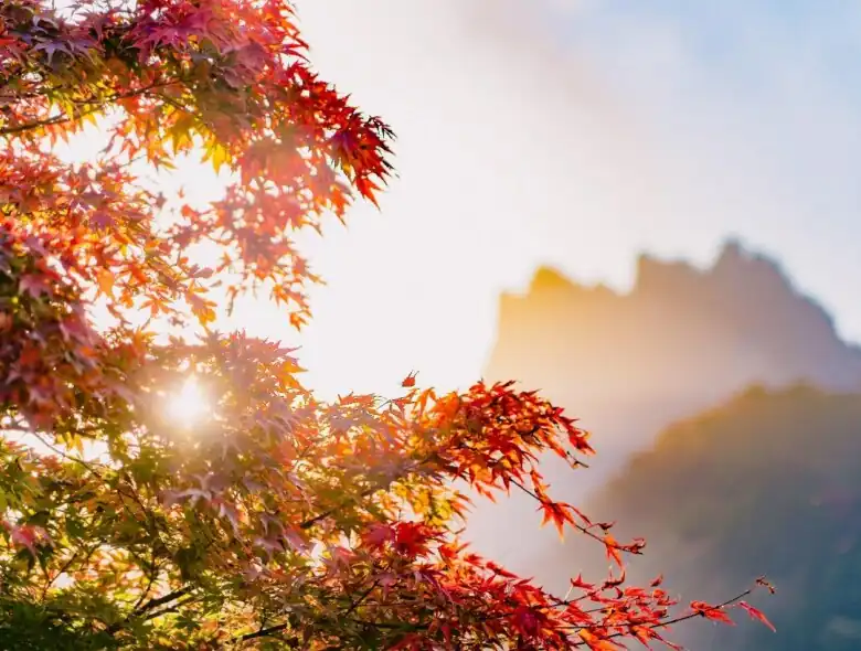
In the Japanese language, there is a delightful word that describes the autumnal leaf color change (notice how in English we have to say “autumnal leaf color change” because there is no one word for this natural phenomenon) and that is Koyo.
Literally translating to “red leaves”, koyo is an intrinsic part of Japanese culture – as significant as the blooming of cherry blossoms in spring. As a result, venturing out to see the leaves change into gorgeous hues of amber, orange, red, and brown is a popular fall activity for the local populace, and is known as Momiji-gari or “red leaf hunting”.
The tradition of Koyo has been practiced for centuries and can be traced back to the 8th century. It is even mentioned in the 11th century text, The Tale of Genji. Places such as parks, temples, mountains, and forests see an uptick of eager visitors during this time to watch Mother Nature paint a swathe of stunning autumnal colors across the land.
If this is something that tickles your fancy, then you’re in luck because in this article, we’ll be discussing 5 hiking trails in the Kanto region where you can experience spectacular fall foliage. Speaking of the Kanto region, if you’re looking to move to this part of Japan, Village House is a housing agency organization with over 1,000 properties across the country’s 47 prefectures, Kanto included. Check out their website for more details.
Mt. Tonodake
Affectionately nicknamed, Mt. To, Mt. Tonodake is a 1,490-meter mountain that is part of Tanzawa Mountain range and Tanzawa-Oyama Quasi-National Park. It sits on the borders of Kiyokawa, Hadano, and Yamakita in Kanagawa, Japan.
The Tanzawa area is a famous mountaineering base for mountain climbing, and the hiking trail to Mt. Tonodake is popular among hikers and visitors looking to watch the autumn leaves change color. The trail follows the ridgeline and there are stairs and rest areas to stop, take a break, and buy something to eat or drink.
Aside from its breathtaking nature, hikers are also treated to majestic views of Mt. Fuji and the surrounding mountains from the summit.
Those looking to come here can access the area by train to Hadano Station before catching a bus to one of the area’s access points.
Mt. Jinba
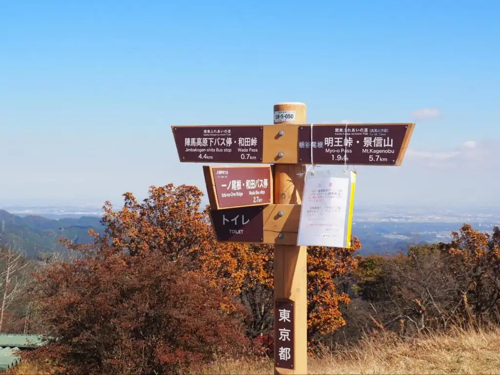
Snuggled between Hachioji, Tokyo, and Fujino, Kanagawa, Mt. Jinba is a mountain with a peak of around 857 meters above sea level. The mountain is famous for its gorgeous views of Mt. Fuji (on a clear day) as well as its three tea houses sitting neatly atop the mountain that offers successful hikers scrumptious soba, udon noodles, and beverages such as coffee, tea, and beer.
An easy day trip from Tokyo, getting to Mt. Jinba is fairly easy by train. Take the JR Chuo Line to Takao Station and from there buses run visitors near to Mt. Jinba every hour. The journey takes around 35 minutes and the hike up to the top of Mt. Jinba takes approximately an hour.
Mt. Nantai
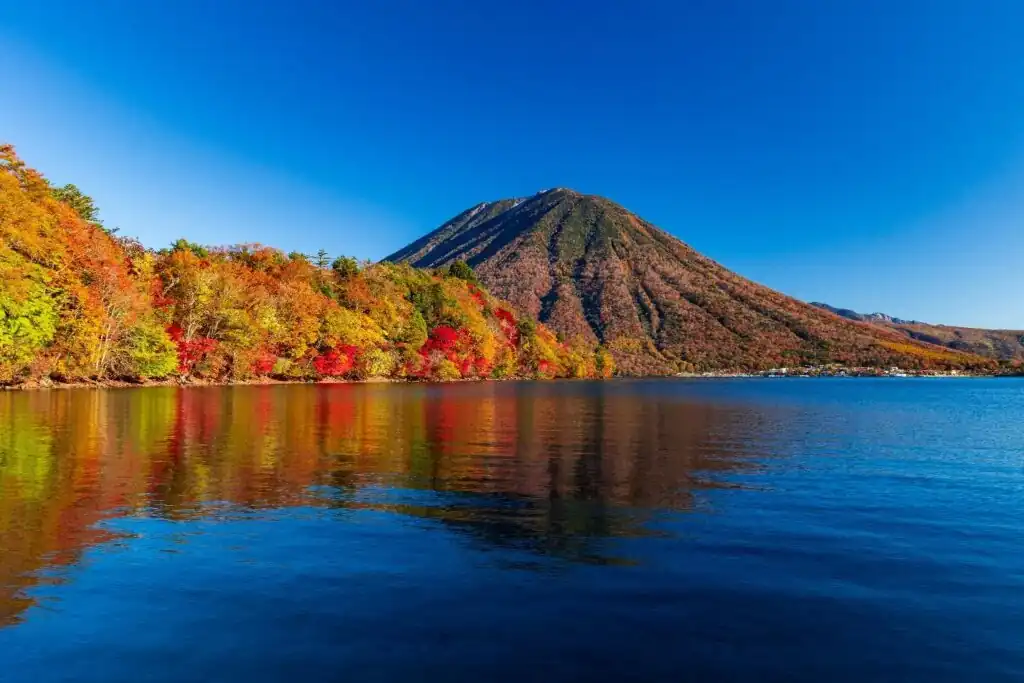
Mt. Nantai is a stratovolcano whose name means “male-body mountain” in Japanese. It also goes by the name of Mt. Futara. Nestled in Nikko National Park in Tochigi Prefecture, the mountain is 2,486 meters above sea level and towers over Lake Chuzenji.
Named one of Japan’s 100 Famous Mountains, Mt. Nantai offers a 4-kilometer mountain trail that leads up to its summit. The trail is open from May to October, making it a popular destination for those seeking out spectacular foil foliage. However, the hike has been designated as one for more experienced hikers as it takes around 7 to 8 hours round trip and is fairly tough.
To access Mt. Nantai, visitors can take a bus from Nikko Station or Tobu-Nikko station which is bound for Yumoto Onsen. Alight at Futarasanjinja Chugushi bus stop.
Mt. Myogi
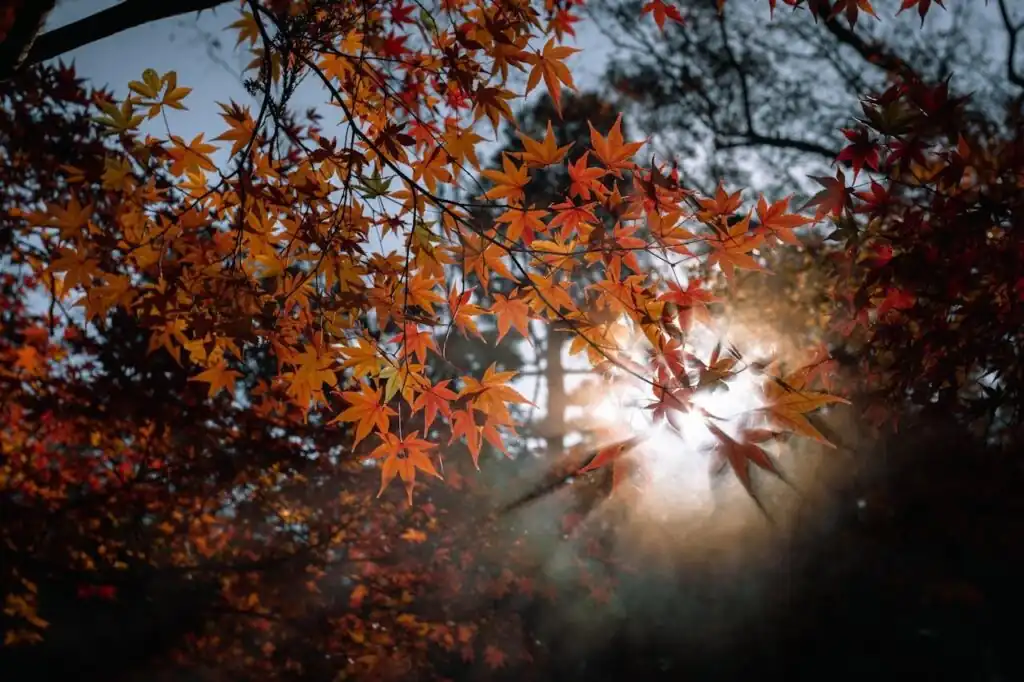
Considered one of the major mountains in Japan’s Gunma prefecture, Mt. Myogi sits on the border between Annaka, Shimonita, and Tomioka. The mountain was made famous by its fantastical weathered rocks that have been eroded by the weather into distinctive, craggy forms and the backdrop of this with the changing of the colors of the autumn leaves make it a popular hiking and fall foliage destination.
In spring, between mid-April and mid-May, around 5,000 cherry trees bloom at the base of Mt. Myogi at Sakura no Sato and the abundance of natural beauty during all four of Japan’s seasons awarded it the title of “National Place of Scenic Beauty” by the Agency for Cultural Affairs in 1923.
Visitors can access Mt. Myogi by taking a 15-minute taxi ride from Isobe Station.
Mt. Daibosatsu
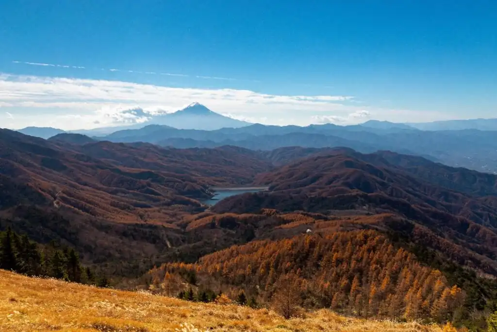
Mt. Daibosatsu is a 2,057-meter mountain located in Chichibu-Tama-Kai National Park that spans the border between Yamanashi, Nagano, Saitama, and Tokyo. It’s listed under one of Japan’s “100 Famous Mountains” due to its untouched natural beauty and brilliant autumnal landscapes.
The mountain is popular among hikers of all skill levels as there are multiple trails catering to those with different levels of experience. In general, hiking up to the summit and back down takes an entire day but many chose to make use of the multiple campsites and lodgings up in the mountains to allow for multi-day hikes and explorations.
The start of the trail up Mt. Daibosatsu is conveniently located near Hashidate-shita bus stop, which sees buses operated by Nishi Tokyo Bus. These buses travel to and from Okutama Station. There are also other buses that can take visitors to Otsuki Station or Uenohara Station.
Related articles:
- Sakura Season: Top 6 Spots for Cherry Blossoms in Shizuoka
- Your Guide to Fukui Prefecture Part 2: Even More Must-See Destinations
- 5 Winter Destinations That Will Take Your Breath Away (Tohoku Edition)
- 5 Underrated Japanese Castles to Check Out
- 5 Most Beautiful Natural Rivers in Japan

Freelance writer with over 2 years of experience writing for the Village House Blog, ESL teacher, and digital nomad who has lived in countries including The Czech Republic, The UK, The U.A.E., Japan, and most recently, Georgia. Is constantly on the hunt for the best, most optimal apartment for remote work when not enjoying going to film festivals, concerts, and the theater.


